LICHT#
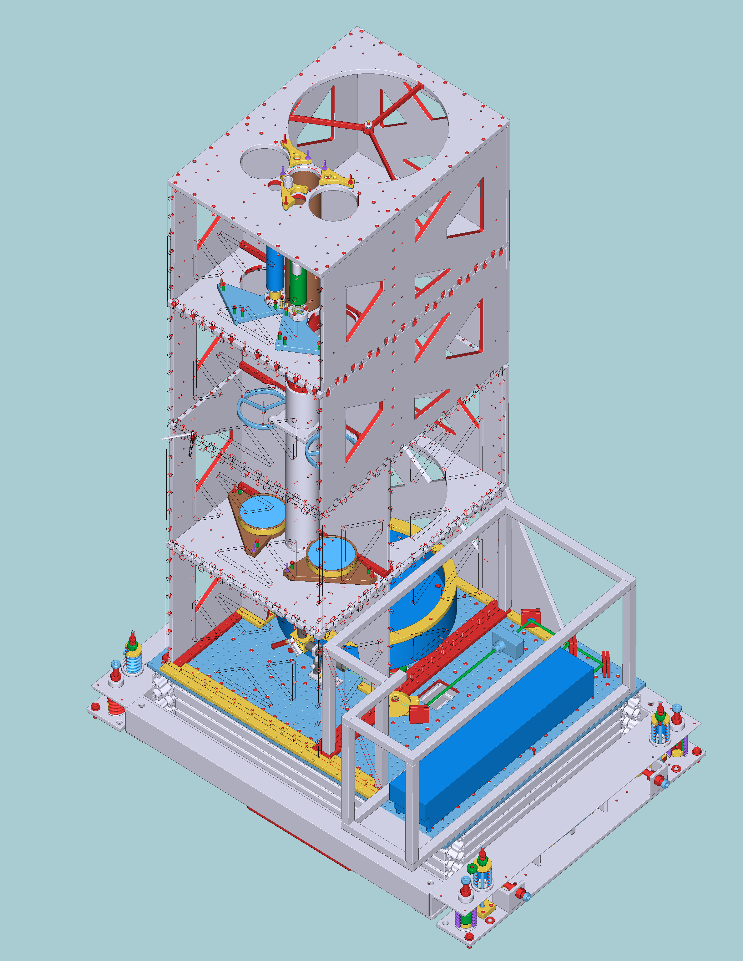
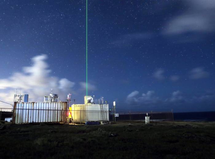
The Raman lidar system LICHT (LIdar for Cloud, Humidity and Temperature profiling) was designed and built in 2013 to expand the observation capability of MPI-M and in particular to be replacement system for EARLI lidar deployed at that moment at the BCO station. The LICHT lidar has similar measurement characteristics to EARLI and was already designed for high isolation from the outdoor environment. Besides better protection against a harsh environment, the LICHT lidar is capable of obtaining daytime water vapor measurements. Operation range for LICHT was extended from 15 km to 29 km on June 14, 2017. In addition, LICHT is equipped with automated window washing installation (built in and activated on July 7, 2017) that allows significant improvement of data quality thanks to reduced transmission losses on output and input windows of lidar container. The LICHT lidar system was deployed at BCO from July 2016 until December 2019. The LICHT lidar operated on board of the German research vessel Meteor during the EUREC4A campaign (January to February, 2020).
In 2026, we will remove CORAL for maintenance and reinstall LICHT at the BCO… more from this instrument soon!
Configurations#
The same information about resolution, smoothing, and calibration modes from coral apply here, but LICHT has also been operated with two height range configurations: 20 m to 15 km (1) and 20 m to 29 km (2).
2min timestep, 118min temperature smoothing, 20m-15km range from 2016-07-17 until 2017-06-13 available as
BCO.lidar_LICHT_LR_t_c1_v1andBCO.lidar_LICHT_LR_b_c1_v12min timestep, 118min temperature smoothing, 20m-29km range from 2017-06-17 until 2019-12-06 available as
BCO.lidar_LICHT_LR_t_c2_v1andBCO.lidar_LICHT_LR_b_c2_v1
Current data availability#
Data is available as .zarr files in the catalog as follows:
Dataset name |
Temporal resolution |
Smoothing |
Water vapor calibration |
Start date |
End date |
|---|---|---|---|---|---|
|
2 min |
2 min |
3D prior & future |
2016-07-17 |
2017-06-13 |
|
2 min |
?? |
3D prior & future |
2016-07-17 |
2017-06-13 |
|
2 min |
?? |
3D prior & future |
2017-06-17 |
2019-12-06 |
|
2 min |
2 min |
3D prior & future |
2017-06-17 |
2019-12-06 |
|
2 min |
2 min |
3D prior |
2016-07-17 |
2017-06-13 |
|
2 min |
?? |
3D prior |
2016-07-17 |
2017-06-13 |
|
2 min |
?? |
3D prior |
2017-06-17 |
2019-12-06 |
|
2 min |
2 min |
3D prior |
2017-06-17 |
2019-12-06 |
Calibration constants are written to the catalog as well, as .zarr under BCO.lidar_LICHT_calib_v1.
Data access#
The fast and slow smoothed products create datasets that differ as shown below:
import intake

cat = intake.open_catalog("https://tcodata.mpimet.mpg.de/catalog.yaml")
#fast = cat.BCO.lidar_LICHT_lr_f_rolling_c1_v1.to_dask()
#slow = cat.BCO.lidar_LICHT_lr_s_rolling_c1_v1.to_dask()
# plot range averaging windows and use datasets to dynamically generate useful docs info?
#fast
#slow
On board METEOR#
For the deployments on board the METEOR ship, please have a look at the METEOR page.