EARLI#


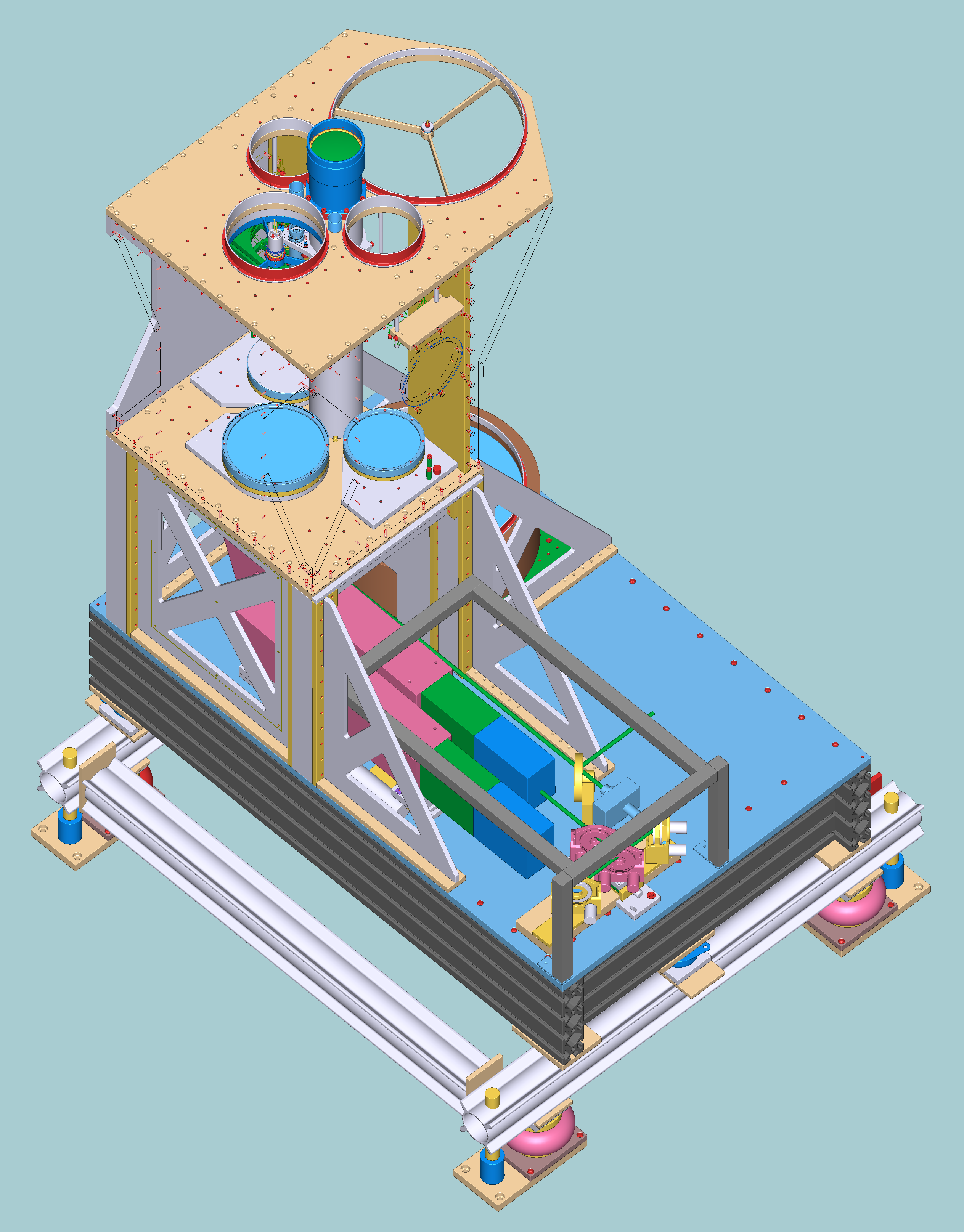
EARLI was the first MPI-M Raman lidar deployed at BCO (April 2010). Designed originally for EARLINET (European Aerosol Research LIdar NETwork, thus the name EARLI) and built up in spring of 2009 the EARLI lidar took part in several lidar-intercomparison experiments conducted by EARLINET community before being installed at the BCO station. Demonstrating a good agreement of measured data with other lidar in the network it was assigned a status of reference lidar system for EARLINET. Dedicated for inland but not onshore operation, the lidar was getting impacted quite hard by humid and salty ocean air, slowly degrading in capabilities. In 2016 EARLI lidar was replaced at the BCO with the next-generation MPI-M Raman lidar. Upgrade and refurbishment of the system is ongoing to make it again available for atmospheric research.
Configurations#
The processing from Level 0 to Level 1 data results in slow (“t” and “e”) and fast (“b”) products. The data in the slow products is smoothed in time over the temperature/extinction smoothing window. The fast product is smoothed in time over the user-specified smoothing window for the rest of variables (default is 2min for low resolution (LR), the time interval of the Level 0 data). The datasets labelled with “e” correspond to extinction products, which are also smoothed in time but with a different window than the “t” products.
Configuration 1#
2min interval, 20m-15km range. Contains the original version of data, containing low (“t” and “e”) and high resolution (“b”) products.
Dates |
Cloud Mask Threshold (1/Mm/sr) |
|---|---|
2010-04 to 2010-12 |
30 |
2011-01 to 2011-03 |
30 |
2011-04 to 2011-10 |
10 |
2011-11 to 2011-12 |
30 |
2012-01 to 2012-03 |
30 |
b-product#
from 2010-04-07 until 2012-04-01
available as BCO.lidar_EARLI_LR_b_c1_v1
t-product (118min smoothing)#
from 2011-04-07 until 2012-03-27
available as BCO.lidar_EARLI_LR_t_c1_v1
e-product (60min smoothing)#
from 2011-04-09 until 2012-04-01
available as BCO.lidar_EARLI_LR_e_c1_v1
Configuration 2#
2min interval, 20m-15km range. Low accuracy data are filtered out in water vapor mixing ratio. Smoothing in range is cancelled. Only high resolution products are released (status on September 26th 2014).
Calibration of lidar data is done against VAISALA or GRAW radiosondes launched from the BCO site. Calibration is achieved by minimizing the root-mean-square deviation of the linear fit for regression “lidar vs. balloon”. It is also assumed that the fitting line is crossing zero. Calibration is done by using the data collected with balloon and lidar within the range between 0.5 and 2 km.
b-product#
from 2010-04-07 until 2014-09-23
available as BCO.lidar_EARLI_LR_b_c2_v1
Configuration 3#
2min interval, 20m-15km range. Extinction derived from EARLI lidar data processed by Moritz Haarig.
Year |
Months |
System |
Wavelength |
Product |
Range |
Comment |
|---|---|---|---|---|---|---|
2011 |
01-03 |
EARLI |
355, 532 nm |
all |
all |
data not used, different settings |
2015 |
01-04 |
EARLI |
355, 532 nm |
extinction |
far |
slope method for overlap used |
2015 |
05-12 |
EARLI |
355, 532 nm |
all |
all |
data not analyzed due to large uncertainties |
2016 |
01-08 |
EARLI |
355, 532 nm |
all |
all |
data not analyzed due to large uncertainties |
GDAS 1.0 is used for temperature and pressure profiles.
b-product#
from 2011-04-01 until 2015-04-26
available as BCO.lidar_EARLI_LR_b_c3_v1
e-product (60min smoothing)#
from 2011-04-01 until 2015-04-26
available as BCO.lidar_EARLI_LR_e_c3_v1